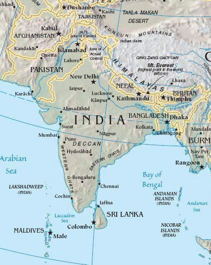
India-South-asia-Map
India Maps
 India china border western sector 1980
 India physical map
 Historical map India 1808
 India small map
 India geographical map
 Rivers map of India
 Crop areas map of india 1973
 India languages map
 India citys map
 Relief of India
 India topogaphy
 Map of india
 South India regions map
 Language travel from India map
 Religions map of India 1987
 Railway network map
 Railway network schematic map
 Bombay Map Tactical Pilotage Chart
 Historical map of India in 1760
 Indien bundesstaaten und unionsterritorien map
 Shared relief map of India 1979
 India city scale map
 India tourist map
 Cultural regional areas of india map
 Map India
 India stats map
 India climatic zone map
 West India map
 Delhi and Vicinity histrotical map 1962 City Plan
 India states numbered map
 India satellite map
 India
India Indian railways map
 Historical maps India in 1804
 India geological regions map