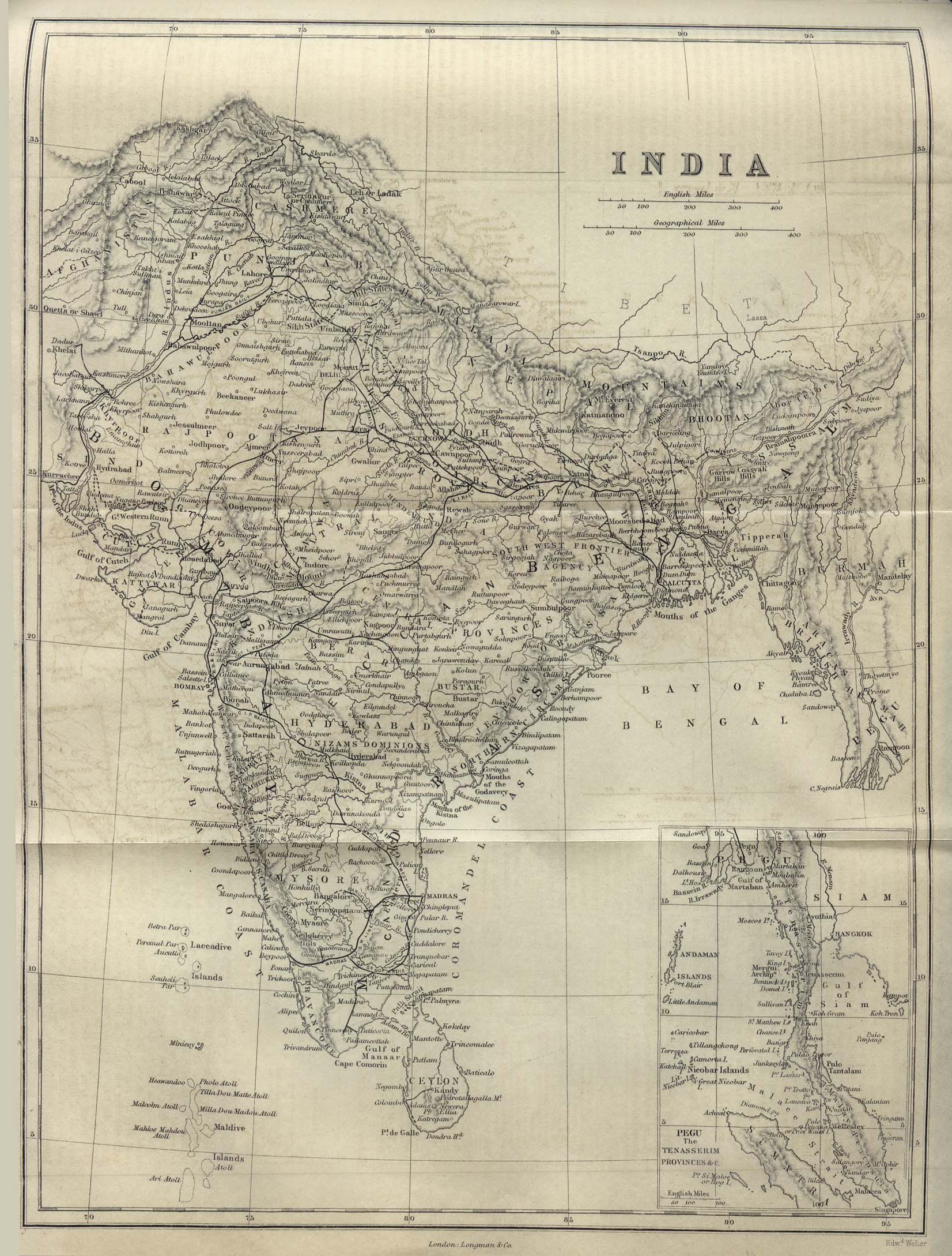
india-historical-map-1882-Dictionary-Practical-Theoretical-and-Historical-of-Commerce-and-Commercial-Navigation
India Maps
 India flag
 India airports and seaports map
 Historical map India 1808
 Map of india
 India china border western sector 1980
 Historical map of India 1809
 India tourist map
 Karte indien bundesstaaten unionsterritorien
 India geology map
 India flag map
 India citys map
 Airports and seaports map
 India stats map
 India climatic zone map
 China India border western sector 1988
 India regions citys map
 Religions map of India 1987
 India city scale map
 Physical features of India map
 India pakistan physical map
 India railway schematic map
 South asia India satellite map
 India disputed areas map
 Alphabetisierungsrate indien karte
 Map of India airport city states
 Language travel from India map
 India energy map 1997
 Shared relief map of India 1979
 Railway network map
 India national roads map
 West India map
 India physical
 Languages and religions map of India 1973
 Railway network schematic map
 Political map of India 2001