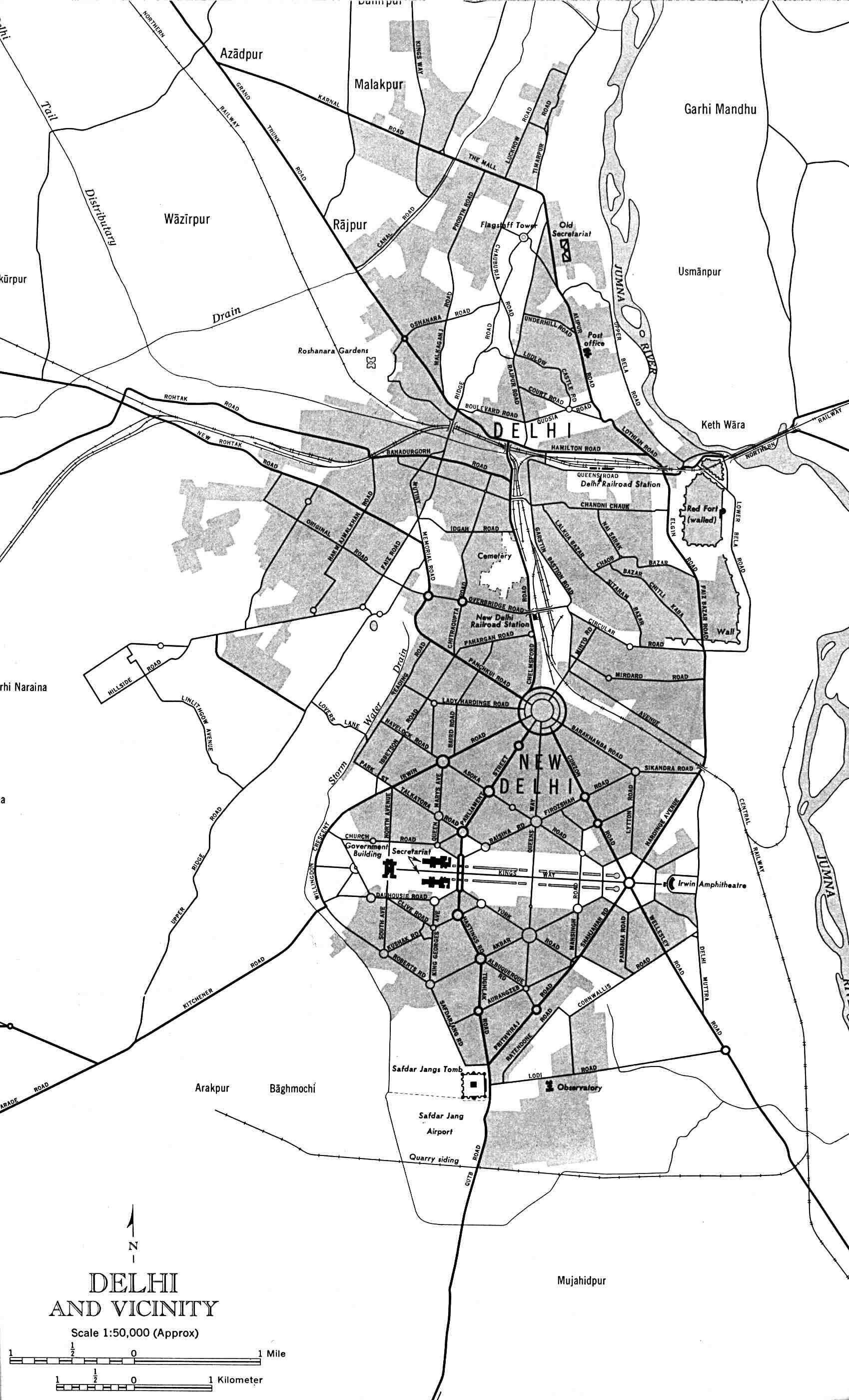
Delhi-and-Vicinity-histrotical-map-1962-City-Plan
India Maps
 South India regions map
 China India border eastern sector 1988
 India districts map
 India regions citys map
 Languages and religions map of India 1973
 Bombay India historical map 1909
 Relief of India
 India national roads map
 India comptoirs map
 India citys map
 Population density India map
 India map
 india wfb map
 India relief map
 Shared relief map of India 1979
 Historical map India 1808
 India historical map 1700 1792 from The Historical Atlas
 Bombay South 1954 Topographic Map
 India topogaphy
 India physio map 2001
 Historical map of India 1809
 India geology zones
 India disputed areas map
 India airports and seaports map
 Political map of India 2001
 Rivers map of India
 India geological regions map
 India satellite map
 Indien bundesstaaten und unionsterritorien map
 Religions map of India 1987
 India states by rto codes map
 State and union territories India map
 Crop areas map of india 1973
 India physical
 India location world map