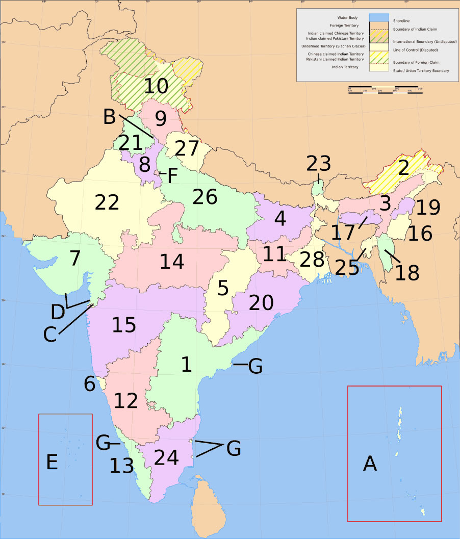
india-states-numbered-map
India Maps
 Delhi and Agra Operational Navigation Chart
 India numbered stats
 China India border eastern sector 1988
 India rajasthan locator map
 India flag map
 Indien bundesstaaten und unionsterritorien map
 India natural hazards map
 India physical map
 Small map of india
 Railway network map
 South asia local India map
 India disputed areas map
 India national roads map
 Historical map India 1808
 Physical features of India map
 India tourist map
 Airports and seaports map
 India comptoirs map
 South India regions map
 Rivers India map
 India geographical map
 Bombay India historical map 1909
 Large city population density India map
 Bombay North 1954 Topographic Map
 India location world map
 India states by rto codes map
 Political map of India 2001
 India physical
 West India map
 India physio map 2001
 India ter map
 Karte indien bundesstaaten unionsterritorien
 India languages map
 Map India
 Topographic India map