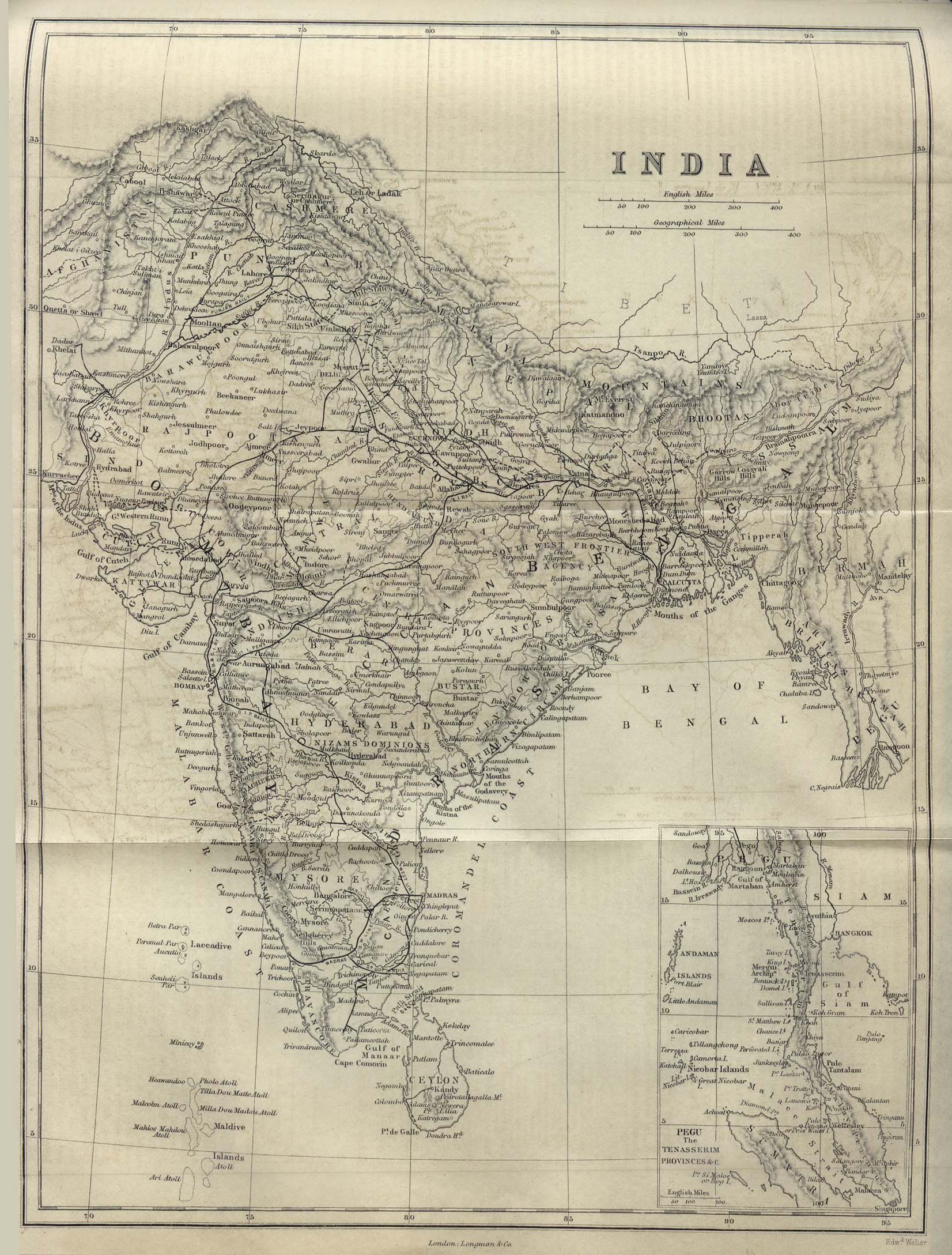
india-historical-map-1882-Dictionary-Practical-Theoretical-and-Historical-of-Commerce-and-Commercial-Navigation
India Maps
 India flag
 India calcutta map
 The india map
 South asia India satellite map
 India
India India numbered stats
 India location world map
 Delhi and Vicinity histrotical map 1962 City Plan
 India historical map
 Indien bundesstaaten und unionsterritorien map
 India geology zones
 Language travel from India map
 India pakistan physical map
 India satellite map
 India climatic zone map
 India historical map 1760 from The Public Schools Historical Atlas
 India relief map
 Shared relief map of India 1979
 China India border western sector 1988
 India city scale map
 Map India
 Map of India airport city states
 Languages and religions map of India 1973
 Historic maps british India
 India geographical map
 Topographic India map
 India stats map
 Delhi and Agra Operational Navigation Chart
 Political map of India 1996
 Damao Daman 1954 Topographic India Map
 india wfb map
 Population density India map
 States and union territories of India
 India languages map
 India comptoirs map