india-city-scale-map
India Maps
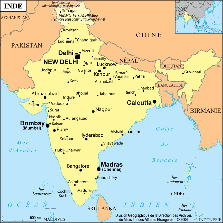
 Small map of india
 Alphabetisierungsrate indien karte
 Bombay India historical map 1909
 Where India located
 India flag
 Wikipedia oldmysore India map
 India historical map 1700 1792 from The Historical Atlas
 West India map
 India geology zones
 India satellite map
 India pakistan physical map
 India geographical map
 India languages map
 Language travel from India map
 State and union territories India map
 India regions citys map
 Languages and religions map of India 1973
 India topogaphy
 Railway network schematic map
 Delhi and Vicinity histrotical map 1962 City Plan
 India geology map
 Shared relief map of India 1979
 Delhi and Agra Operational Navigation Chart
 Political map of India 1996
 India small map
 The india map
 Population map of India 1973
 India map 1760
 India china border western sector 1980
 India calcutta map
 India national roads map
 Religions map of India 1987
 India disputed areas map
 India citys map
 Historical map India 1808