states-and-union-territories-of-india
India Maps
 India rajasthan locator map
 Delhi and Vicinity histrotical map 1962 City Plan
 Cultural regional areas of india map
 Where India located
 India physical
 India geographical map
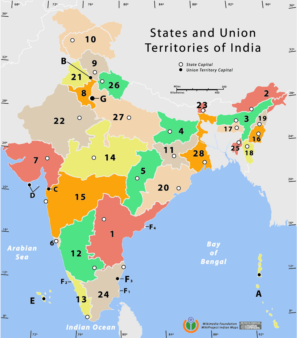
 State and union territories India map
 India topographic blank map
 Language travel from India map
 Rivers India map
 Languages and religions map of India 1973
 Map of relief India
 Rivers and lakes India map
 Relief map of India 1996
 Crop areas map of india 1973
 Topographic India map
 India geology map
 India states numbered map
 The india map
 Large city population density India map
 Population map of India 1973
 India railway schematic map
 Population density India map
 China India border eastern sector 1988
 India physical map
 Political map of India 2001
 Rivers map of India
 India
India India districts map
 India disputed areas map
 Physical features of India map
 Map extreme points of India
 India comptoirs map
 Small map of india
 Bombay Map Tactical Pilotage Chart