india-satellite-map
India Maps
 India
India Historical map of India 1809
 Map India
 India languages map
 Shared relief map of India 1979
 Political map of India 2001
 Rivers map of India
 India stats map
 Bombay Map Tactical Pilotage Chart
 India national roads map
 India tourist map
 India geological regions map
 India natural hazards map
 Alphabetisierungsrate indien karte
 Small map of india
 Map extreme points of India
 India calcutta map
 Political map of India 1996
 India historical map 1760 from The Public Schools Historical Atlas
 Railway network schematic map
 Historical map India 1808
 South asia local langage map
 Map of india
 Airports and seaports map
 Large city population density India map
 Bhuj Anjar Area Gujarat Topographic Map 1955
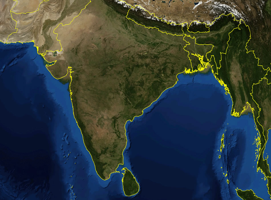
 India satellite map
 India geology map
 India physio map 2001
 The india map
 India physical map
 South India regions map
 Map of relief India
 India ter map
 India flag