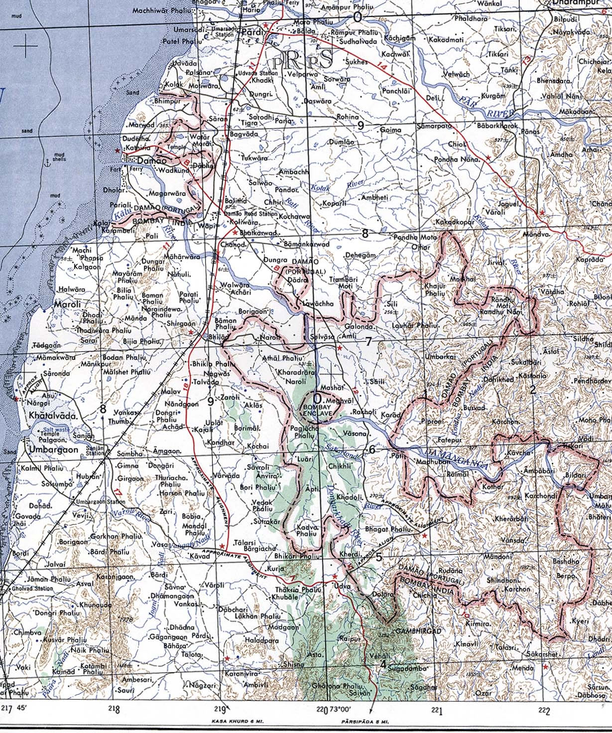
Damao-Daman-1954-Topographic-india-Map
India Maps
 Location of Delhi
 Alphabetisierungsrate indien karte
 India flag map
 Crop areas map of india 1973
 India geographical map
 India map bbsr direct train full
 India physical map
 India geology zones
 Map of india
 Rivers and lakes India map
 India South asia Map
 Shared relief map of India 1979
 Topographic India map
 Relief map of India 1996
 Map of relief India
 India natural hazards map
 South asia local langage map
 India comptoirs map
 Political map of India 1996
 India historical map 1882, Commerce and Commercial Navigation
 South India regions map
 Railway network map
 India calcutta map
 Languages and religions map of India 1973
 India small map
 States and union territories of India
 India Transportation map
 The india map
 India languages map
 India historical map
 Blank colored India map
 India stats map
 India railway schematic map
 Delhi and Vicinity histrotical map 1962 City Plan
 Map India