Bombay-india-historical-map-1954-City-Plan
India Maps
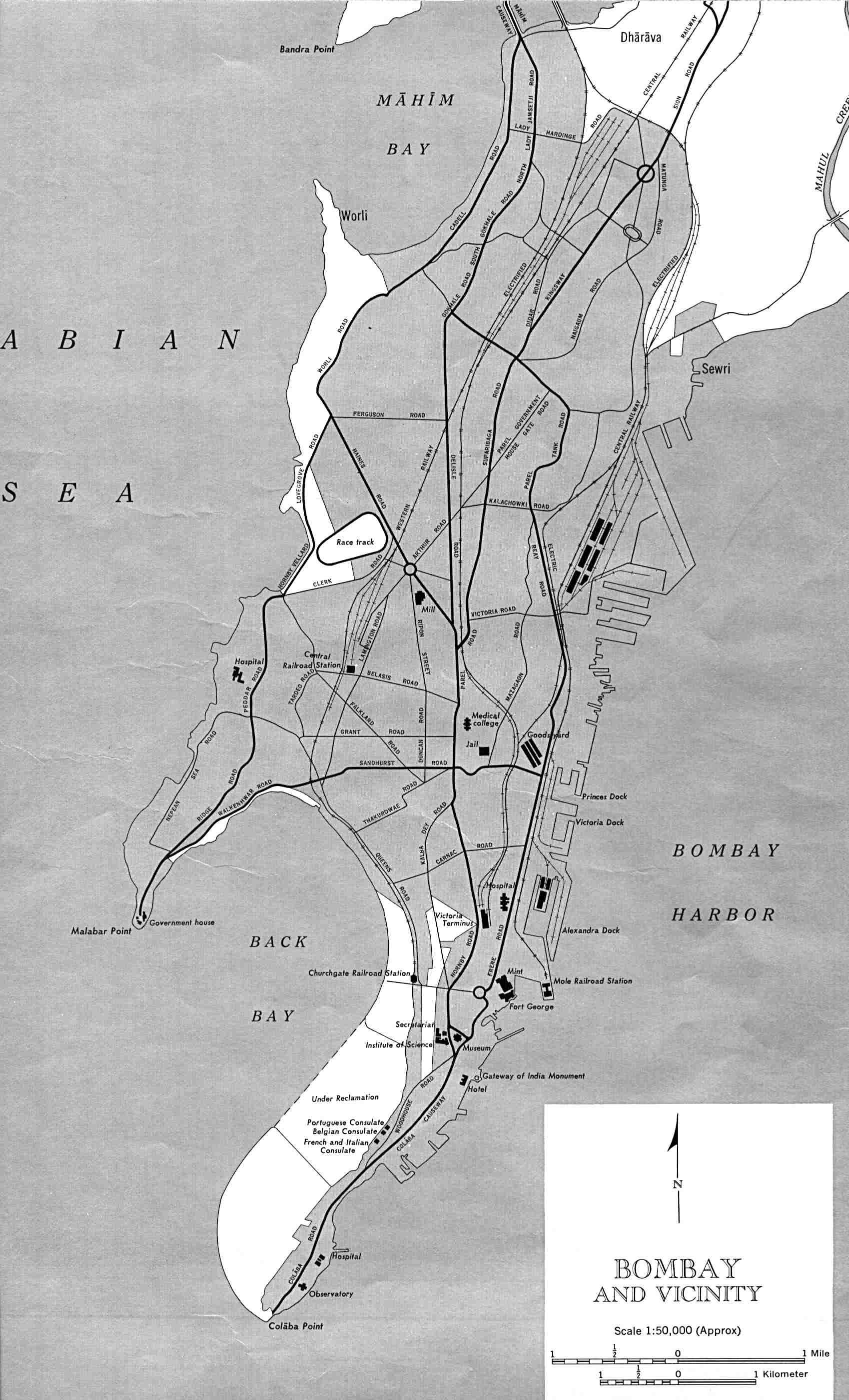
 South asia local India map
 Bombay India historical map 1954 City Plan
 India languages map
 India china border western sector 1980
 Languages and religions map of India 1973
 Historical map India
 Population density India map
 India map
 India map bbsr direct train full
 Small map of india
 India airports and seaports map
 Map of india
 Rivers and lakes topographic map
 India railway schematic map
 India historical map mogul
 India locator map blank
 States and union territories of India
 India ter map
 India satellite map
 India numbered stats
 Location of Delhi
 India historical map 1760 from The Public Schools Historical Atlas
 India map 1760
 India energy map 1997
 India location world map
 India geology zones
 India city scale map
 India rajasthan locator map
 Political map of India 2001
 China India border western sector 1988
 India disputed areas map
 Railway network schematic map
 India South asia Map
 India pakistan physical map
 India national roads map