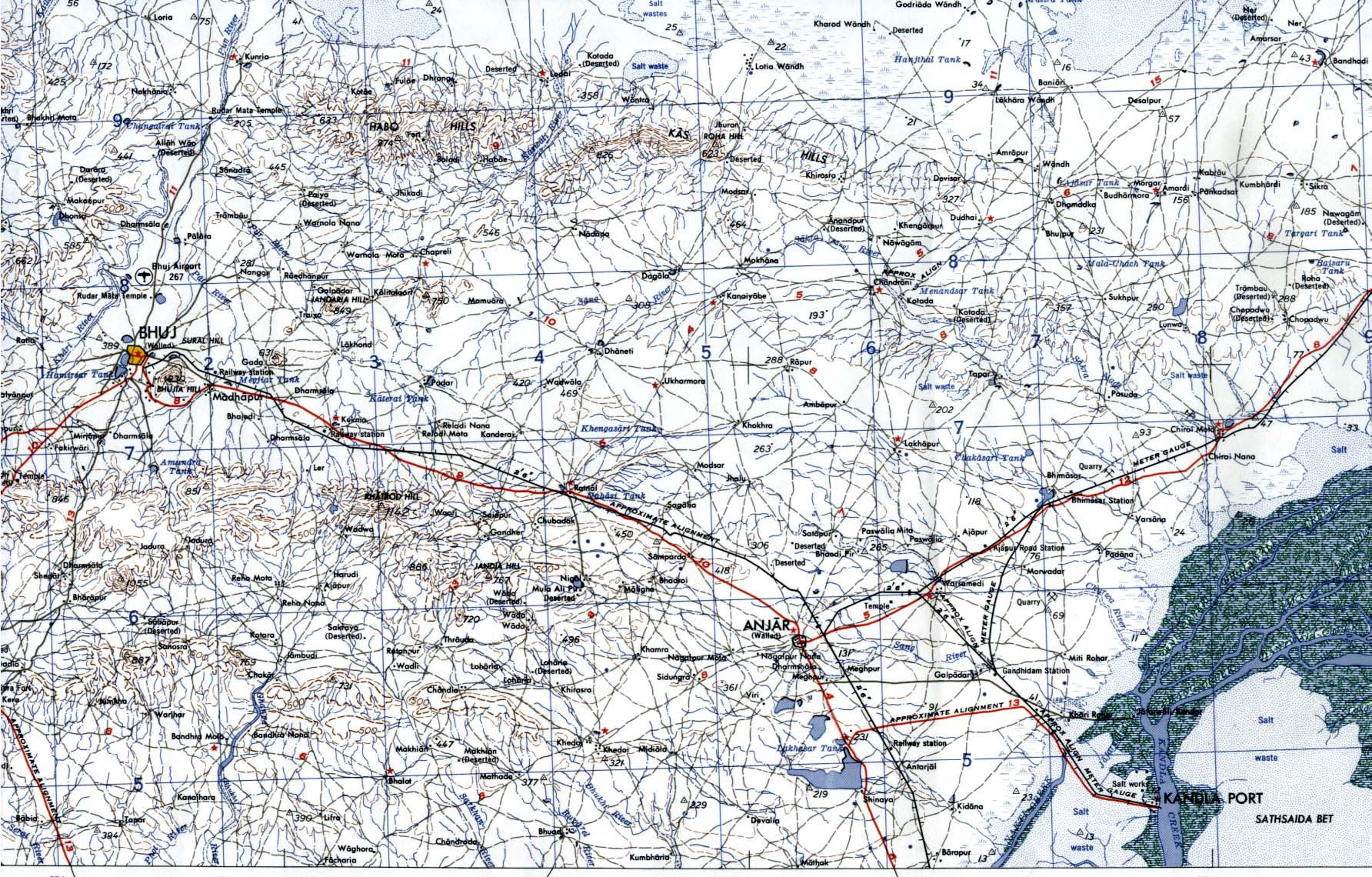
Bhuj-Anjar-Area-Gujarat-Topographic-Map-1955
India Maps
 India map bbsr direct train full
 Rivers map of India
 Historical map India
 India physio map 2001
 Blank colored India map
 India satellite map
 India historical map 1700 1792 from The Historical Atlas
 Historical map of India in 1760
 Population density India map
 Where India located
 India flag map
 Calcutta map 1945 City Plan
 India disputed areas map
 Indian railways map
 The india map
 Delhi and Vicinity histrotical map 1962 City Plan
 India historical map 1760 from The Public Schools Historical Atlas
 India states by rto codes map
 India tourist map
 Bombay India historical map 1909
 India city scale map
 Relief of India
 South India regions map
 Bombay North 1954 Topographic Map
 India location world map
 Location of Delhi
 Religions map of India 1987
 State and union territories India map
 India natural hazards map
 Alphabetisierungsrate indien karte
 India china border western sector 1980
 India map
 China India border eastern sector 1988
 States and union territories of India
 india wfb map