india-location-world-map
India Maps
 Rivers and lakes India map
 China India border eastern sector 1988
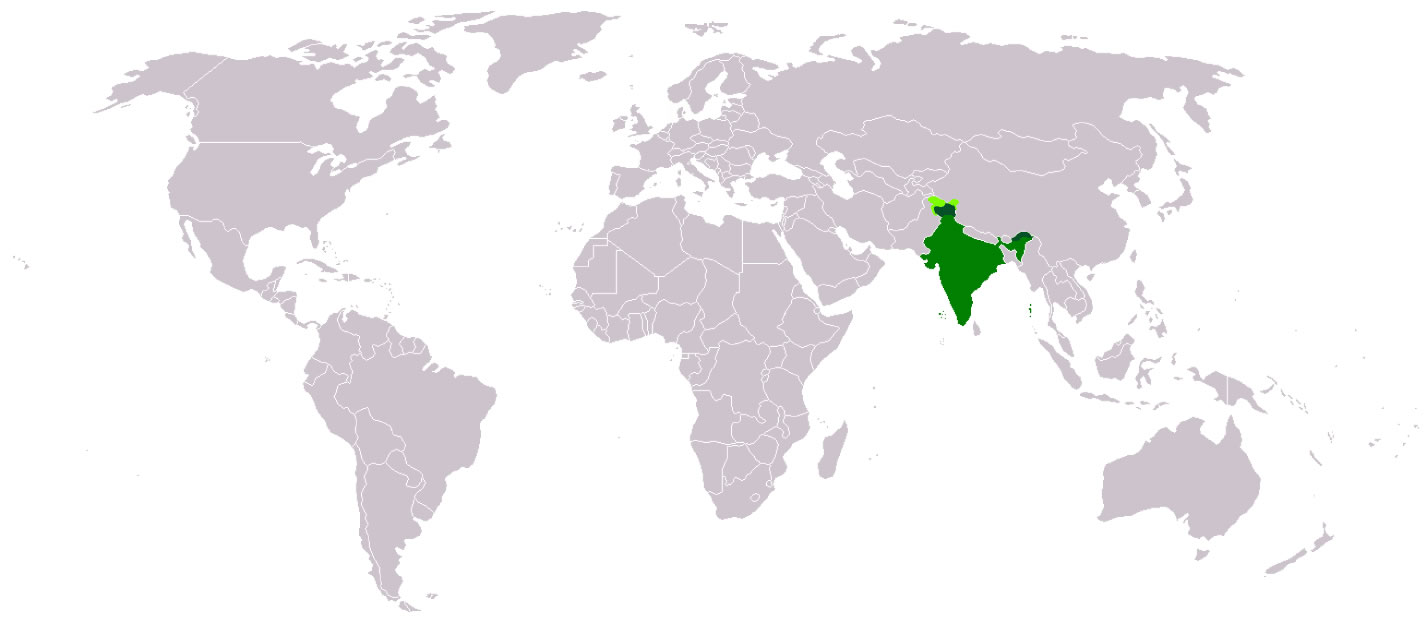
 Where India located
 Alphabetisierungsrate indien karte
 India flag map
 Location of Delhi
 West India map
 India ter map
 Relief of India
 india wfb map
 India physio map 2001
 China India border western sector 1988
 Bhuj Anjar Area Gujarat Topographic Map 1955
 India relief map
 India railway schematic map
 Crop areas map of india 1973
 Historical map of India in 1760
 India historical map 1700 1792 from The Historical Atlas
 Karte indien bundesstaaten unionsterritorien
 India location world map
 Historical map India 1808
 Delhi Location
 Population map of India 1973
 Language travel from India map
 India topogaphy
 Small map of india
 South asia India satellite map
 India climatic zone map
 South India regions map
 India geology zones
 Religions map of India 1987
 Population density India map
 India historical map 1760 from The Public Schools Historical Atlas
 India rajasthan locator map
 Physical features of India map