india-historical-map-1760-from-The-Public-Schools-Historical-Atlas
India Maps
 India South asia Map
 Map of India airport city states
 India topogaphy
 India calcutta map
 India states by rto codes map
 Karte indien bundesstaaten unionsterritorien
 Map extreme points of India
 India energy map 1997
 Rivers and lakes India map
 China India border eastern sector 1988
 Indien bundesstaaten und unionsterritorien map
 Rivers map of India
 Population density India map
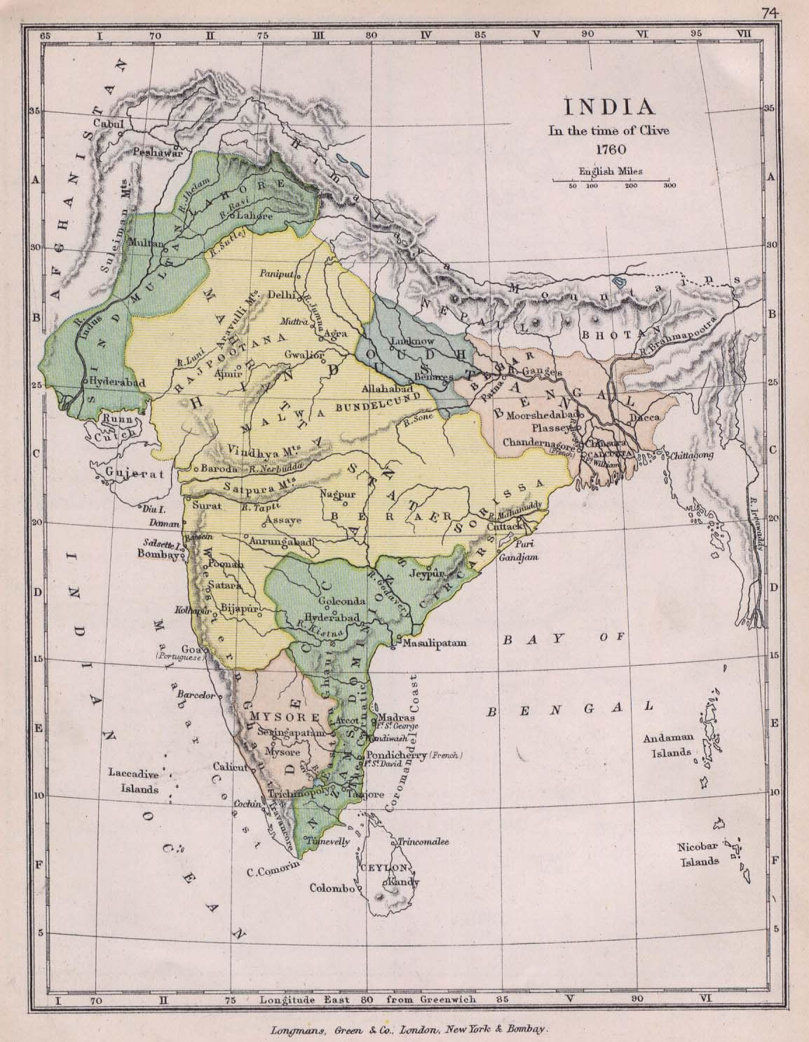
 Historical map of India in 1760
 India comptoirs map
 Relief map of India 1996
 India numbered stats
 India map 1760
 Bombay India historical map 1954 City Plan
 India languages map
 India natural hazards map
 Map of relief India
 State and union territories India map
 Religions map of India 1987
 India physical map
 Delhi and Vicinity histrotical map 1962 City Plan
 Bombay South 1954 Topographic Map
 India historical map 1700 1792 from The Historical Atlas
 India geographical map
 South India regions map
 India physical
 India geology map
 Wikipedia oldmysore India map
 Cultural regional areas of india map
 Map India