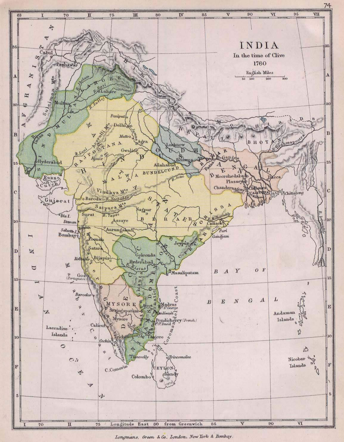
historical-map-of-india-in-1760
India Maps
 India climatic zone map
 India geographical map
 India geology map
 Indian railways map
 Damao Daman 1954 Topographic India Map
 India disputed areas map
 India topogaphy
 India energy map 1997
 Historical map of India 1809
 Population density India map
 India small map
 Delhi and Agra Operational Navigation Chart
 China India border western sector 1988
 Historical maps India in 1804
 Map extreme points of India
 India regions citys map
 Bombay India historical map 1954 City Plan
 Crop areas map of india 1973
 India stats map
 India rajasthan locator map
 India satellite map
 India Transportation map
 Bombay India historical map 1909
 India tourist map
 Population map of India 1973
 Karte indien bundesstaaten unionsterritorien
 Relief of India
 Railway network schematic map
 Historic maps british India
 India airports and seaports map
 South India regions map
 India South asia Map
 India citys map
 Calcutta map 1945 City Plan
 The india map