india-satellite-map
India Maps
 Indien map 2006
 Rivers India map
 India South asia Map
 India topogaphy
 Relief map of India 1996
 India rajasthan locator map
 Cultural regional areas of india map
 India physical map
 India geology zones
 India climatic zone map
 Indien bundesstaaten und unionsterritorien map
 Crop areas map of india 1973
 Airports and seaports map
 South India regions map
 India
India Topographic India map
 India states numbered map
 Delhi and Vicinity histrotical map 1962 City Plan
 India map
 Rivers map of India
 Historical map of India in 1760
 Language travel from India map
 India historical map
 Distribution of christians in Indian states map
 Indian railways map
 India geological regions map
 India stats map
 India historical map 1760 from The Public Schools Historical Atlas
 Religions map of India 1987
 Bombay North 1954 Topographic Map
 India Transportation map
 India physical
 Physical features of India map
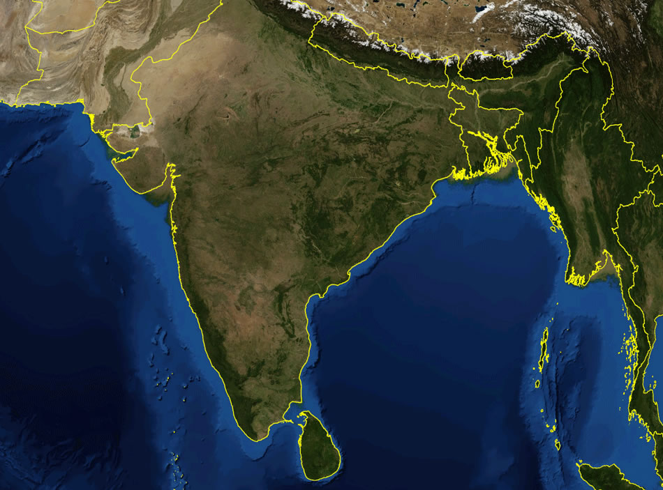
 India satellite map
 Historical map India