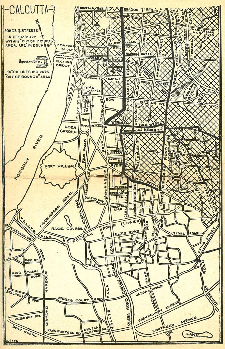
Calcutta-map-1945-City-Plan
India Maps
 Map of relief India
 India geographical map
 India climatic zone map
 India map 1760
 Karte indien bundesstaaten unionsterritorien
 Indien map 2006
 Population map of India 1973
 India states by rto codes map
 Damao Daman 1954 Topographic India Map
 Bombay India historical map 1954 City Plan
 Distribution of christians in Indian states map
 Railway network schematic map
 Rivers and lakes topographic map
 Shared relief map of India 1979
 Bombay India historical map 1909
 Rivers map of India
 South asia India satellite map
 Language travel from India map
 Political map of India 2001
 Political map of India 1996
 Map extreme points of India
 Religions map of India 1987
 State and union territories India map
 Historic maps british India
 India tourist map
 India relief map
 India china border western sector 1980
 Bhuj Anjar Area Gujarat Topographic Map 1955
 India geological regions map
 Crop areas map of india 1973
 India calcutta map
 India disputed areas map
 India energy map 1997
 China India border eastern sector 1988
 India states numbered map