indien-bundesstaaten-und-unionsterritorien-map
India Maps
 South India regions map
 Historical maps India in 1804
 India topogaphy
 Historical map India
 India map
 Rivers map of India
 Railway network map
 Languages and religions map of India 1973
 The india map
 Wikipedia oldmysore India map
 Bombay Map Tactical Pilotage Chart
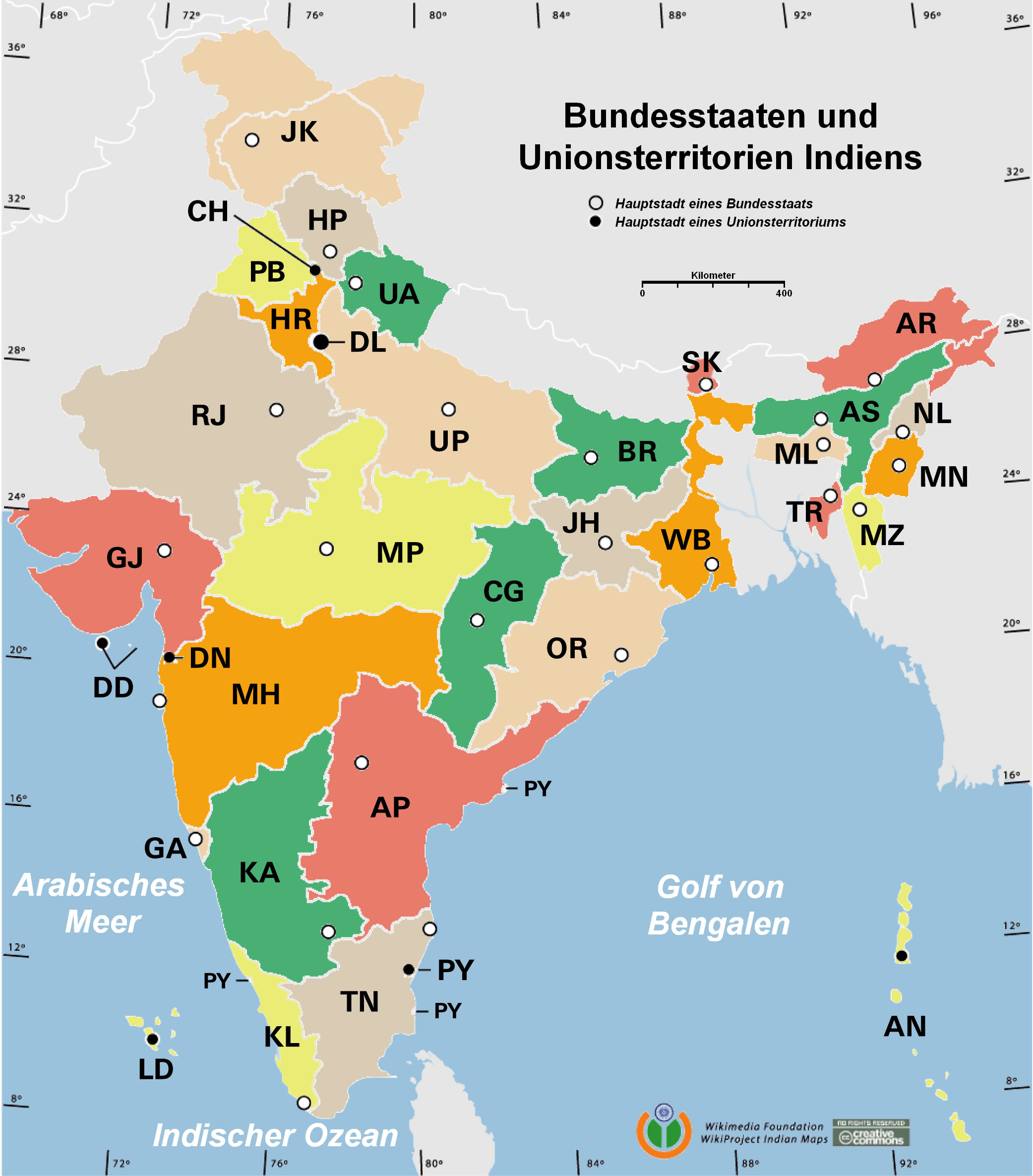
 State and union territories India map
 India historical map mogul
 India national roads map
 India states numbered map
 India map 1760
 Physical features of India map
 India relief map
 Crop areas map of india 1973
 India geology zones
 China India border western sector 1988
 Map of relief India
 Relief of India
 India flag
 India energy map 1997
 India calcutta map
 Delhi and Agra Operational Navigation Chart
 Map of india
 Where India located
 India languages map
 Airports and seaports map
 Damao Daman 1954 Topographic India Map
 Rivers India map
 Political map of India 1996
 South asia local India map