india-states-by-rto-codes-map
India Maps
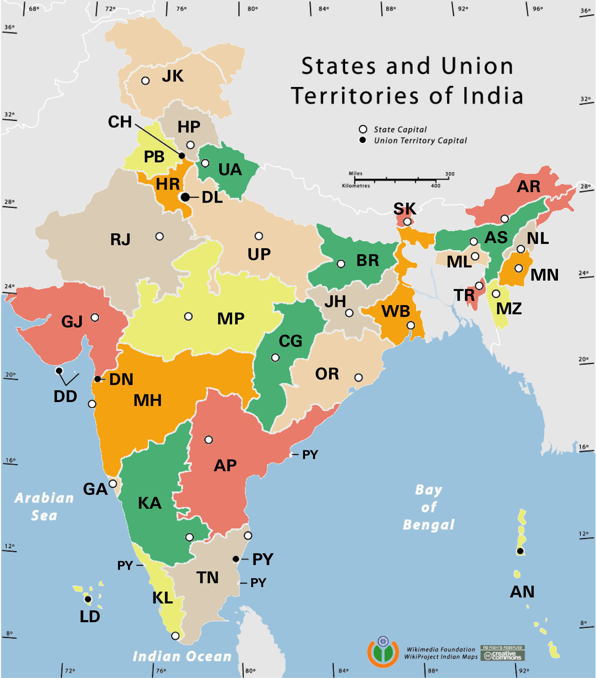
 Karte indien bundesstaaten unionsterritorien
 Relief map of India 1996
 Distribution of christians in Indian states map
 India national roads map
 Bombay India historical map 1954 City Plan
 Map of India airport city states
 India languages map
 Delhi Location
 South asia India satellite map
 Cultural regional areas of india map
 India calcutta map
 Religions map of India 1987
 India rajasthan locator map
 Map India
 Rivers and lakes topographic map
 India historical map mogul
 Languages and religions map of India 1973
 Relief of India
 Large city population density India map
 Historical map of India in 1760
 India citys map
 India stats map
 Blank colored India map
 India topographic blank map
 India topogaphy
 India numbered stats
 Location of Delhi
 Bombay South 1954 Topographic Map
 Historical maps India in 1804
 Railway network map
 India Transportation map
 India flag
 Delhi and Vicinity histrotical map 1962 City Plan
 Historical map of India 1809
 Delhi and Agra Operational Navigation Chart