map-of-india-airport-city-states
India Maps
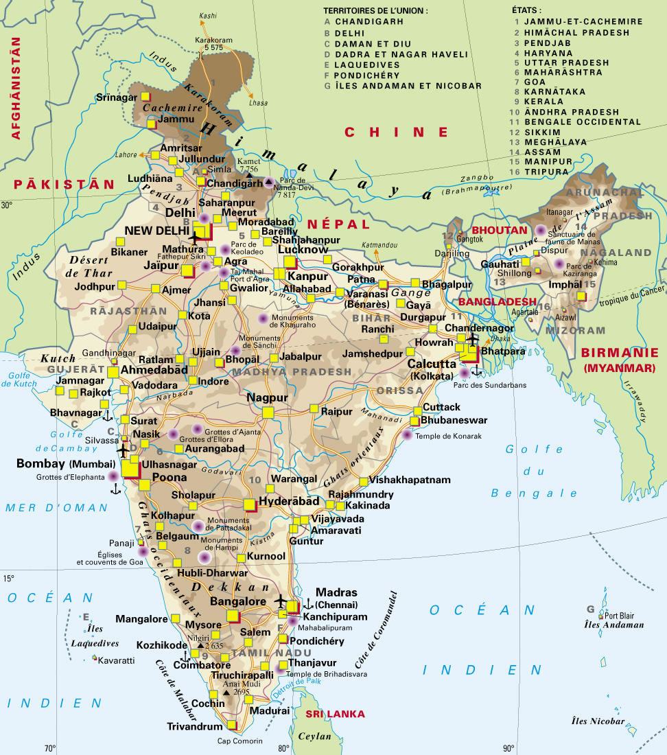
 India tourist map
 India locator map blank
 State and union territories India map
 Physical features of India map
 India South asia Map
 Airports and seaports map
 India map
 Rivers India map
 India map 1760
 India natural hazards map
 India states by rto codes map
 Bombay North 1954 Topographic Map
 India physio map 2001
 India stats map
 Bombay South 1954 Topographic Map
 Map India
 States and union territories of India
 India Transportation map
 India comptoirs map
 Calcutta map 1945 City Plan
 South asia local India map
 Bhuj Anjar Area Gujarat Topographic Map 1955
 India small map
 Karte indien bundesstaaten unionsterritorien
 Small map of india
 India topographic blank map
 Wikipedia oldmysore India map
 Where India located
 india wfb map
 India physical
 The india map
 Railway network map
 Alphabetisierungsrate indien karte
 India satellite map
 South asia local langage map