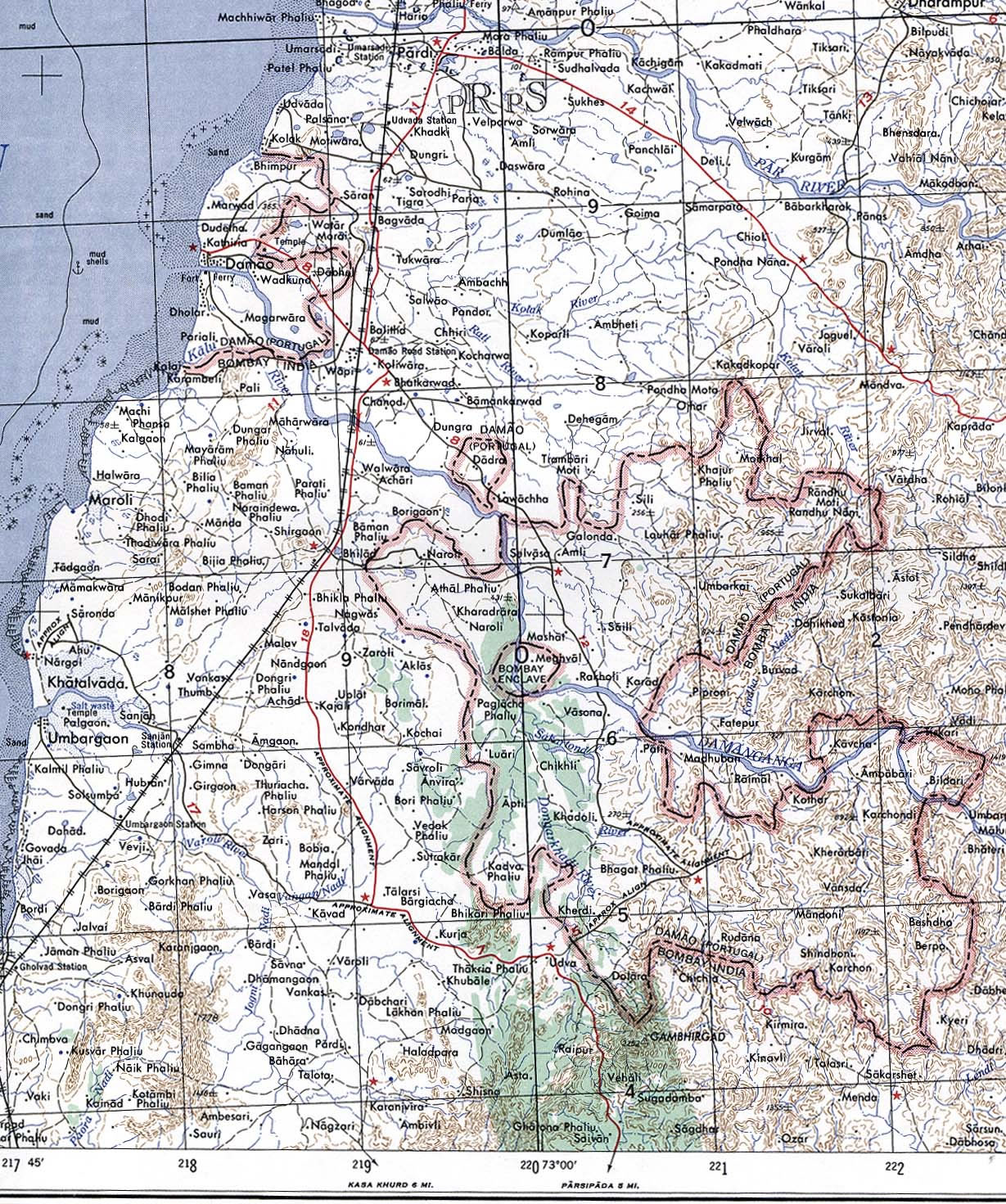
Damao-Daman-1954-Topographic-india-Map
India Maps
 India locator map blank
 India Transportation map
 India physical map
 South asia local India map
 India physical
 India geological regions map
 Religions map of India 1987
 Historical maps India in 1804
 India pakistan physical map
 Cultural regional areas of india map
 Map of india
 India stats map
 Rivers map of India
 Crop areas map of india 1973
 India states by rto codes map
 India relief map
 Delhi and Vicinity histrotical map 1962 City Plan
 State and union territories India map
 india wfb map
 India historical map mogul
 Physical features of India map
 Location of Delhi
 Languages and religions map of India 1973
 Map of India airport city states
 India geology zones
 Bombay North 1954 Topographic Map
 India states numbered map
 India numbered stats
 Language travel from India map
 India map 1760
 India citys map
 Indien map 2006
 India satellite map
 India topogaphy
 Population map of India 1973