


political-map-of-india-2001
India Maps
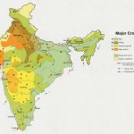 Crop areas map of india 1973
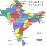 South asia local langage map
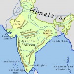 India geographical map
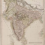 Historical map India 1808
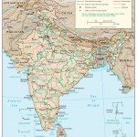 India physio map 2001
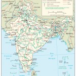 The india map
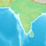 Topographic India map
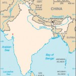 Blank colored India map
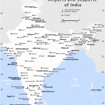 Airports and seaports map
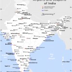 India airports and seaports map
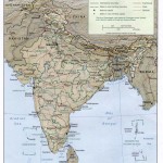 Map of relief India
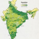 Population map of India 1973
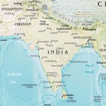 India pakistan physical map
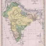 Historical map of India in 1760
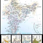 Map of india
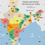 India states by rto codes map
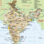 Map of India airport city states
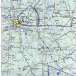 Delhi and Agra Operational Navigation Chart
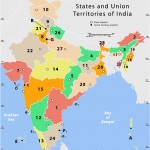 States and union territories of India
 India flag
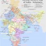 Railway network schematic map
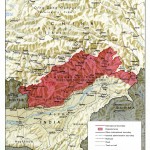 China India border eastern sector 1988
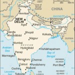 india wfb map
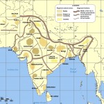 Cultural regional areas of india map
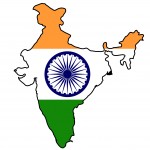 India flag map
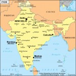 India city scale map
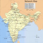 India national roads map
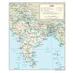 India Transportation map
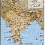 India
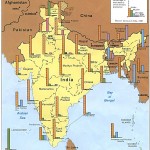 Religions map of India 1987
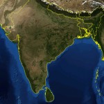 India satellite map
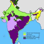 India geology map
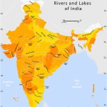 Rivers and lakes India map
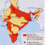 Large city population density India map
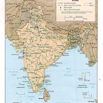 Relief map of India 1996