south-india-regions-map
India Maps
 Bombay South 1954 Topographic Map
 Rivers India map
 India historical map mogul
 Large city population density India map
 Damao Daman 1954 Topographic India Map
 India flag
 Airports and seaports map
 Historical map India
 India location world map
 India historical map 1760 from The Public Schools Historical Atlas
 India
India India stats map
 India tourist map
 Historical map India 1808
 Indien map 2006
 Relief of India
 Map of relief India
 India physio map 2001
 Location of Delhi
 Political map of India 2001
 Religions map of India 1987
 Population map of India 1973
 India languages map
 Indien bundesstaaten und unionsterritorien map
 India geology zones
 Where India located
 India city scale map
 Bombay India historical map 1909
 India small map
 The india map
 Map India
 India historical map
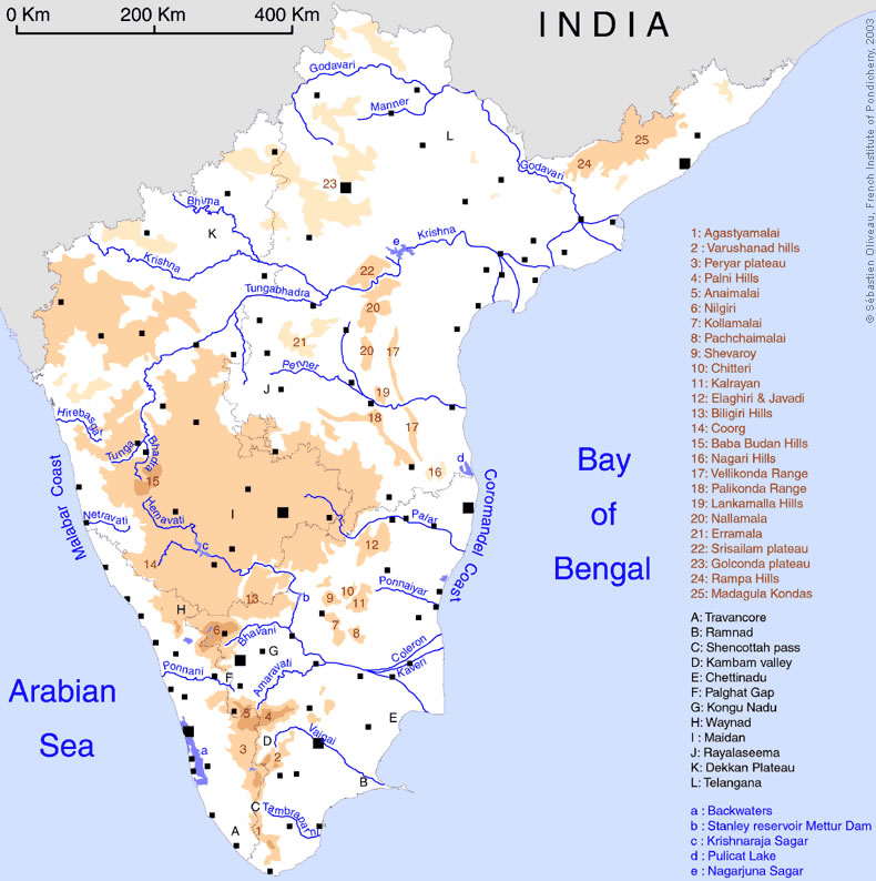
 South India regions map
 India geology map
 India districts map