states-and-union-territories-of-india
India Maps
 India comptoirs map
 Relief map of India 1996
 Where India located
 Map extreme points of India
 India historical map
 India historical map mogul
 Topographic India map
 India tourist map
 India physio map 2001
 Languages and religions map of India 1973
 India geographical map
 India languages map
 India pakistan physical map
 India geological regions map
 Historical maps India in 1804
 Map India
 India Transportation map
 Blank colored India map
 India ter map
 West India map
 Delhi Location
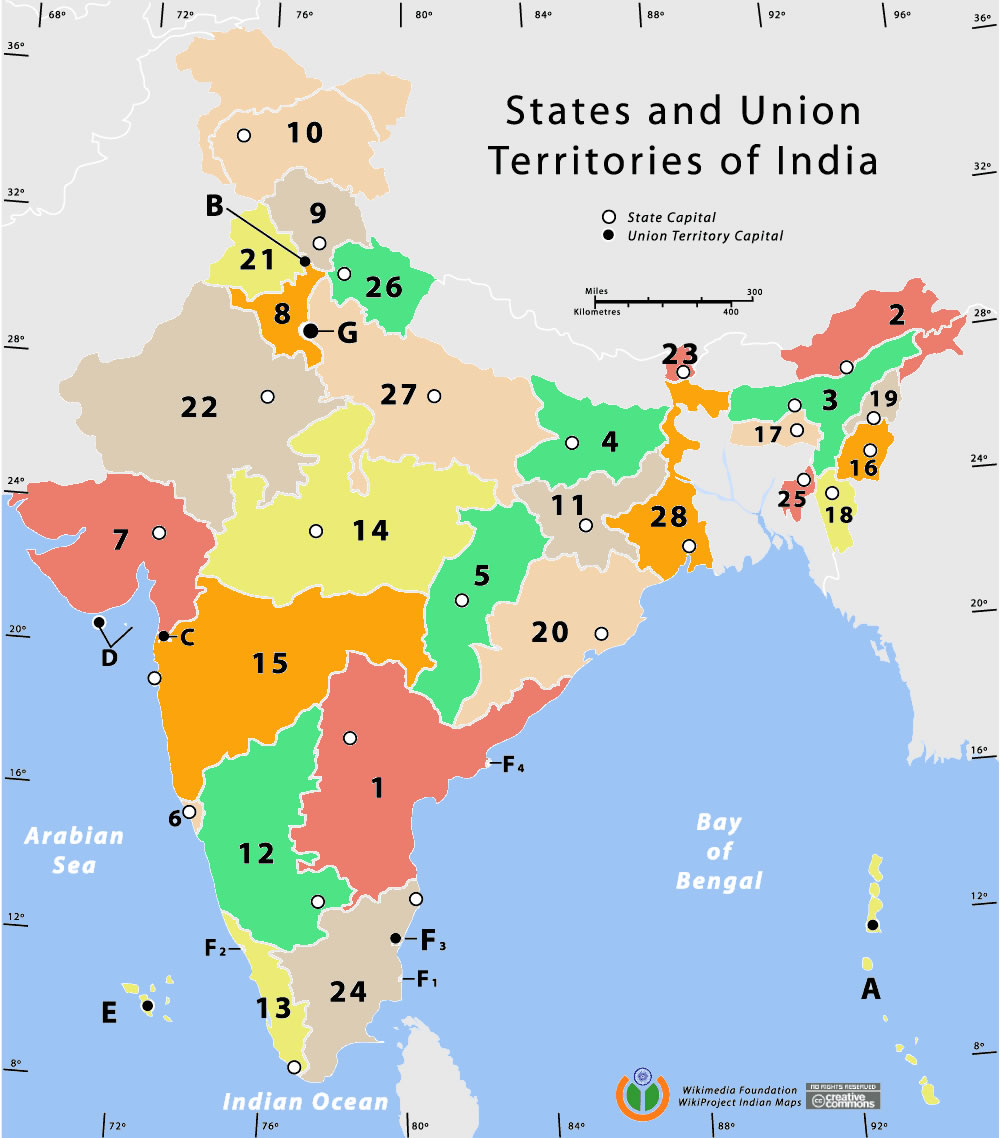
 India states numbered map
 India numbered stats
 Crop areas map of india 1973
 India states by rto codes map
 Relief of India
 Historical map India 1808
 South asia local India map
 india wfb map
 Rivers and lakes India map
 India districts map
 Historical map of India 1809
 Historic maps british India
 India South asia Map
 Map of India airport city states