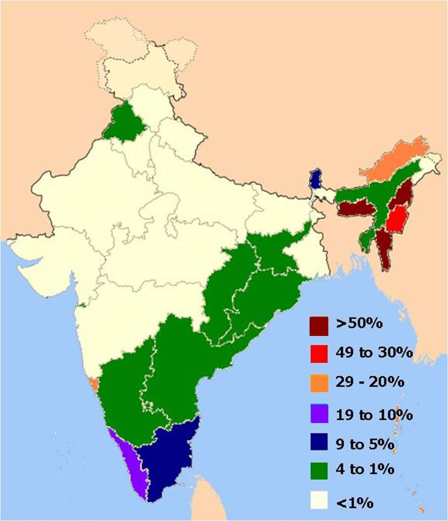
distribution-of-christians-in-indian-states-map
India Maps
 Rivers map of India
 Historical map of India 1809
 India historical map mogul
 Indien bundesstaaten und unionsterritorien map
 India natural hazards map
 Bombay Map Tactical Pilotage Chart
 India languages map
 Historical map of India in 1760
 India Transportation map
 Blank colored India map
 Crop areas map of india 1973
 India citys map
 Language travel from India map
 Rivers and lakes topographic map
 India historical map 1760 from The Public Schools Historical Atlas
 Cultural regional areas of india map
 India geographical map
 India topographic blank map
 India physical map
 India states by rto codes map
 Small map of india
 India numbered stats
 India flag map
 India tourist map
 India physical
 Indien map 2006
 India location world map
 Location of Delhi
 India city scale map
 South asia local India map
 Shared relief map of India 1979
 Bombay India historical map 1909
 South asia India satellite map
 China India border western sector 1988
 Historical map India