historic-maps-british-india
India Maps
 Map of india
 South asia local langage map
 South India regions map
 South asia India satellite map
 Relief map of India 1996
 India rajasthan locator map
 India languages map
 Shared relief map of India 1979
 Bhuj Anjar Area Gujarat Topographic Map 1955
 Indian railways map
 India
India India comptoirs map
 Alphabetisierungsrate indien karte
 Delhi and Vicinity histrotical map 1962 City Plan
 India locator map blank
 Railway network map
 Calcutta map 1945 City Plan
 Map extreme points of India
 Rivers and lakes topographic map
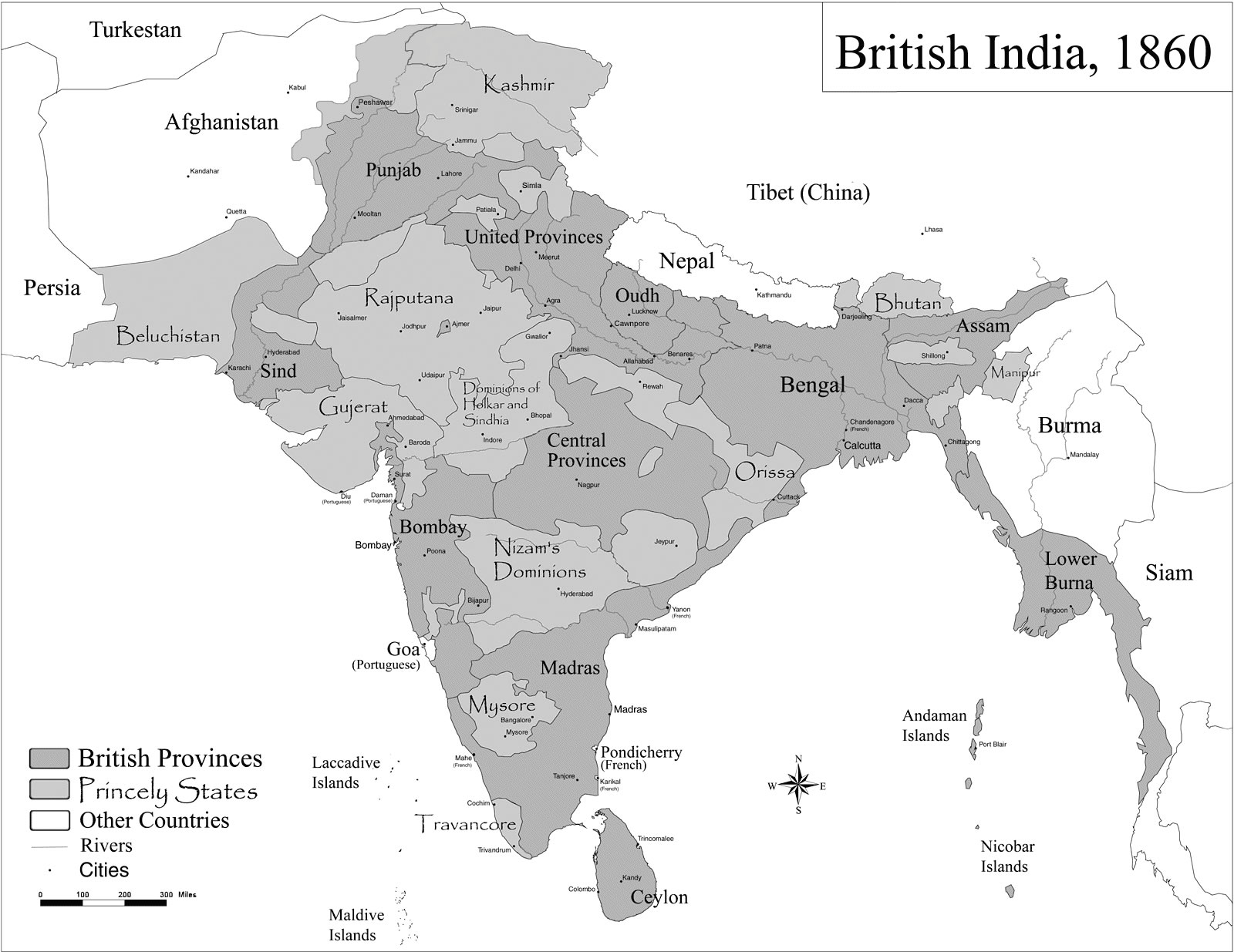
 Historical map India
 Wikipedia oldmysore India map
 India location world map
 India small map
 India relief map
 India citys map
 India national roads map
 Crop areas map of india 1973
 India map
 Population density India map
 Delhi Location
 Indien bundesstaaten und unionsterritorien map
 Topographic India map
 Political map of India 1996
 West India map
 Religions map of India 1987