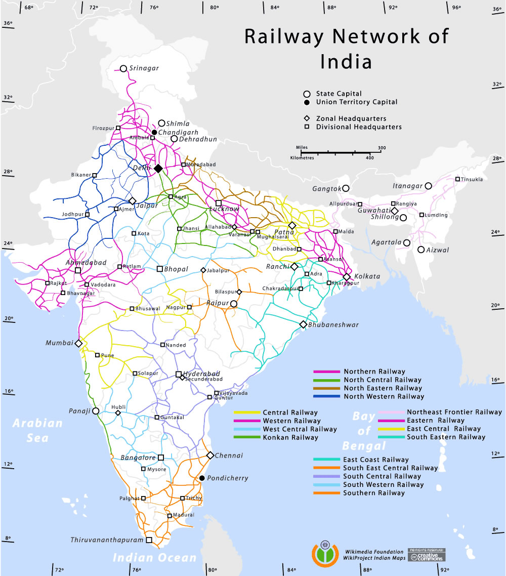
Railway-network-map
India Maps
 Historical map India
 India topogaphy
 The india map
 India relief map
 India tourist map
 India airports and seaports map
 South asia India satellite map
 India map
 South asia local India map
 State and union territories India map
 India satellite map
 Airports and seaports map
 Political map of India 1996
 India calcutta map
 India national roads map
 Alphabetisierungsrate indien karte
 Bombay South 1954 Topographic Map
 Bhuj Anjar Area Gujarat Topographic Map 1955
 India railway schematic map
 Political map of India 2001
 India geographical map
 Topographic India map
 India Transportation map
 India natural hazards map
 India stats map
 Large city population density India map
 China India border eastern sector 1988
 India climatic zone map
 India historical map 1760 from The Public Schools Historical Atlas
 India historical map mogul
 Physical features of India map
 Map of india
 Bombay Map Tactical Pilotage Chart
 Relief map of India 1996
 India physical map