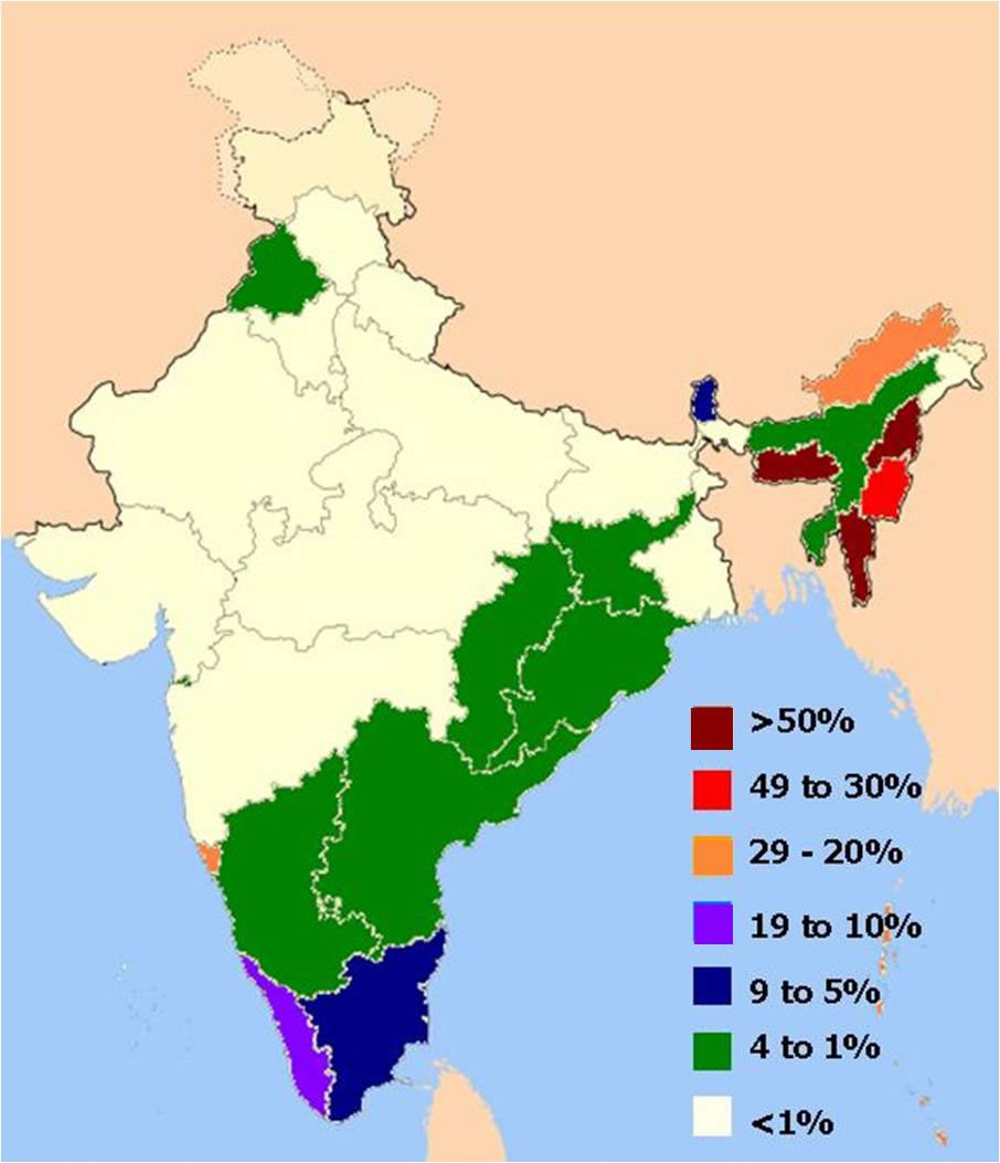
distribution-of-christians-in-indian-states-map
India Maps
 South asia India satellite map
 Map of india
 Indian railways map
 Delhi and Agra Operational Navigation Chart
 Alphabetisierungsrate indien karte
 India historical map
 Languages and religions map of India 1973
 Distribution of christians in Indian states map
 india wfb map
 Rivers India map
 Map of India airport city states
 Bombay Map Tactical Pilotage Chart
 Population density India map
 Physical features of India map
 India states numbered map
 Blank colored India map
 Damao Daman 1954 Topographic India Map
 Large city population density India map
 India states by rto codes map
 Relief of India
 Population map of India 1973
 India tourist map
 Bhuj Anjar Area Gujarat Topographic Map 1955
 Delhi and Vicinity histrotical map 1962 City Plan
 India physio map 2001
 India natural hazards map
 Rivers and lakes topographic map
 Historic maps british India
 Relief map of India 1996
 India physical map
 India comptoirs map
 India city scale map
 Topographic India map
 Historical map India
 China India border eastern sector 1988