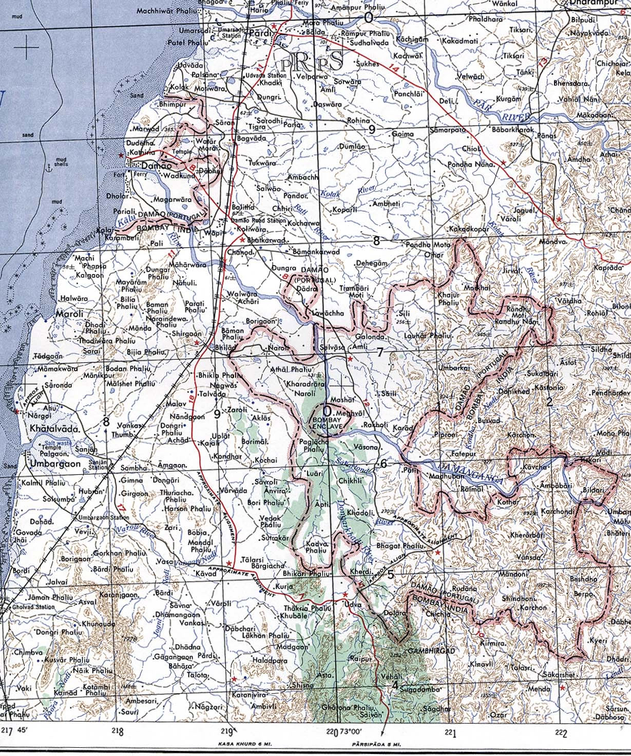
Damao-Daman-1954-Topographic-india-Map
India Maps
 Historic maps british India
 Wikipedia oldmysore India map
 Railway network schematic map
 State and union territories India map
 States and union territories of India
 Bombay North 1954 Topographic Map
 India historical map 1760 from The Public Schools Historical Atlas
 Indian railways map
 Religions map of India 1987
 China India border western sector 1988
 India small map
 India pakistan physical map
 India tourist map
 South India regions map
 Indien map 2006
 India
India Relief map of India 1996
 India physical
 Map India
 Topographic India map
 Rivers map of India
 India china border western sector 1980
 India ter map
 Cultural regional areas of india map
 South asia India satellite map
 Damao Daman 1954 Topographic India Map
 India rajasthan locator map
 Historical map of India in 1760
 India physical map
 India airports and seaports map
 India historical map 1700 1792 from The Historical Atlas
 Delhi and Vicinity histrotical map 1962 City Plan
 India relief map
 India energy map 1997
 India map bbsr direct train full