Bhuj-Anjar-Area-Gujarat-Topographic-Map-1955
India Maps
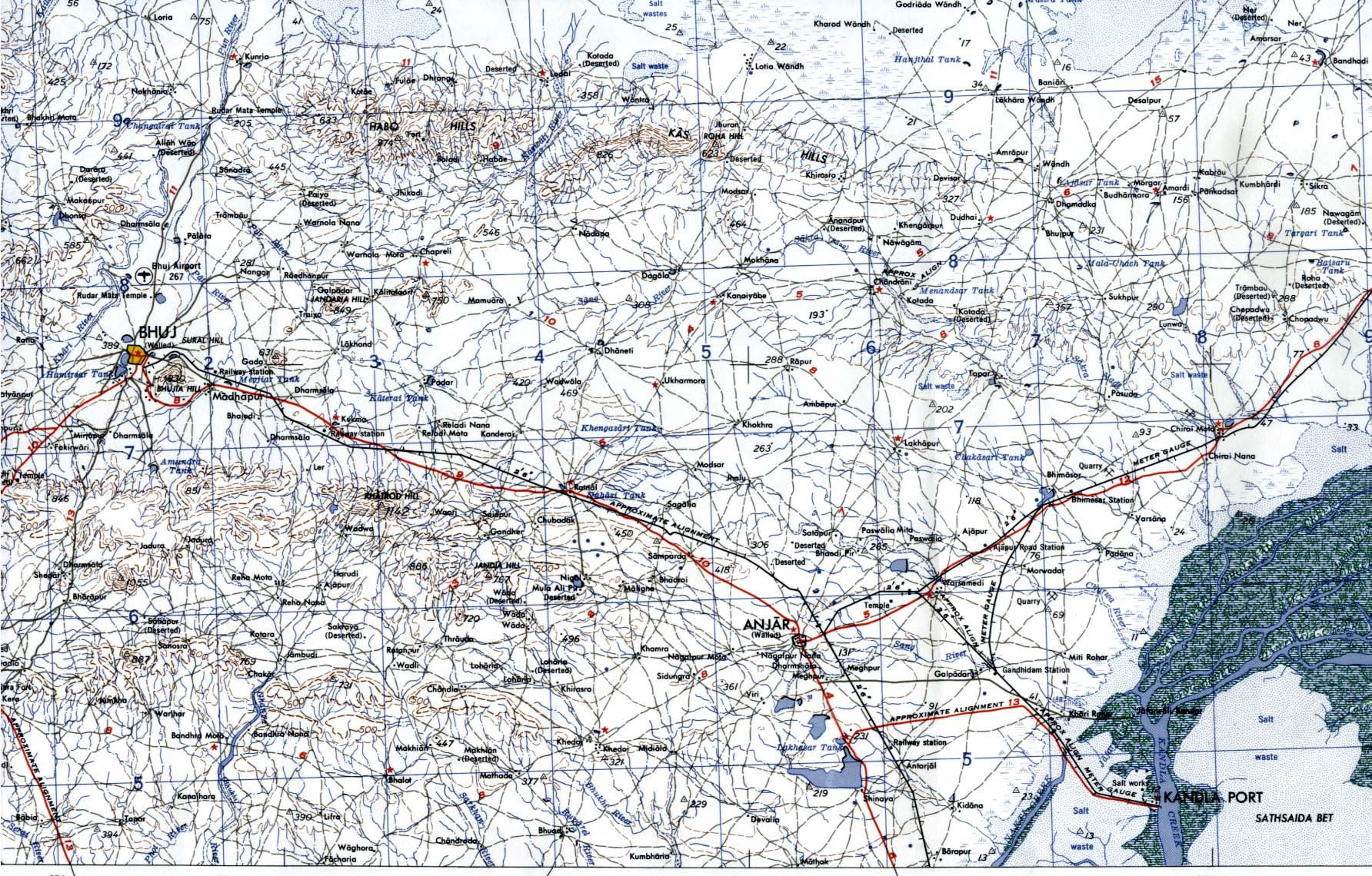
 Bhuj Anjar Area Gujarat Topographic Map 1955
 South asia local langage map
 West India map
 India geological regions map
 India disputed areas map
 Airports and seaports map
 India numbered stats
 India regions citys map
 Delhi and Vicinity histrotical map 1962 City Plan
 India historical map 1700 1792 from The Historical Atlas
 Map of india
 india wfb map
 Where India located
 Calcutta map 1945 City Plan
 India comptoirs map
 India physical map
 Small map of india
 India South asia Map
 Alphabetisierungsrate indien karte
 Large city population density India map
 India energy map 1997
 Crop areas map of india 1973
 India ter map
 Population density India map
 Cultural regional areas of india map
 India topographic blank map
 China India border eastern sector 1988
 India rajasthan locator map
 Rivers and lakes topographic map
 India tourist map
 India map
 India Transportation map
 Wikipedia oldmysore India map
 Historical map of India in 1760
 India relief map