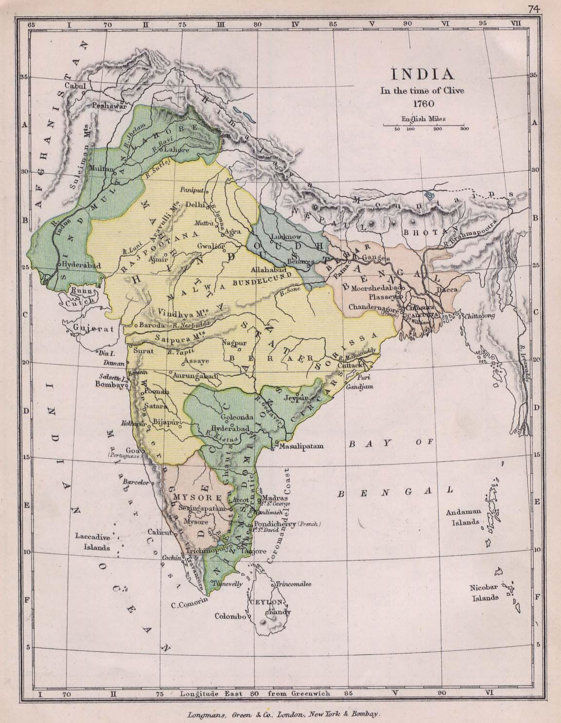
india-historical-map-1760-from-The-Public-Schools-Historical-Atlas
India Maps
 Bombay North 1954 Topographic Map
 India geological regions map
 Damao Daman 1954 Topographic India Map
 India citys map
 Crop areas map of india 1973
 Physical features of India map
 India satellite map
 India districts map
 State and union territories India map
 Indien bundesstaaten und unionsterritorien map
 India tourist map
 Rivers map of India
 Bombay India historical map 1909
 South asia local India map
 Small map of india
 India South asia Map
 States and union territories of India
 India topogaphy
 Indian railways map
 Calcutta map 1945 City Plan
 Political map of India 2001
 Delhi and Agra Operational Navigation Chart
 Cultural regional areas of india map
 India geology map
 India natural hazards map
 Bombay South 1954 Topographic Map
 India relief map
 Rivers and lakes India map
 Relief map of India 1996
 Delhi and Vicinity histrotical map 1962 City Plan
 Relief of India
 India map
 Indien map 2006
 India climatic zone map
 Blank colored India map