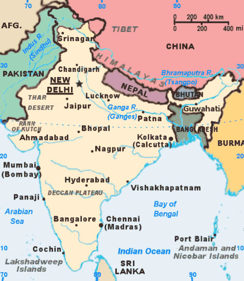
india-citys-map
India Maps
 Historic maps british India
 Physical features of India map
 Crop areas map of india 1973
 China India border eastern sector 1988
 Delhi and Agra Operational Navigation Chart
 Bhuj Anjar Area Gujarat Topographic Map 1955
 India pakistan physical map
 State and union territories India map
 Delhi and Vicinity histrotical map 1962 City Plan
 Population density India map
 India natural hazards map
 Cultural regional areas of india map
 India ter map
 Map extreme points of India
 India city scale map
 Location of Delhi
 Bombay Map Tactical Pilotage Chart
 India Transportation map
 Languages and religions map of India 1973
 India geographical map
 Map of india
 Population map of India 1973
 India airports and seaports map
 States and union territories of India
 India national roads map
 Religions map of India 1987
 Historical map India 1808
 India china border western sector 1980
 Shared relief map of India 1979
 India calcutta map
 India disputed areas map
 India rajasthan locator map
 India languages map
 India physio map 2001
 Political map of India 2001