Rivers-india-map
India Maps
 Delhi and Vicinity histrotical map 1962 City Plan
 India states by rto codes map
 Rivers map of India
 Shared relief map of India 1979
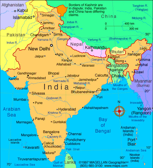
 India map
 India china border western sector 1980
 Map of India airport city states
 India location world map
 India map 1760
 Alphabetisierungsrate indien karte
 Calcutta map 1945 City Plan
 India ter map
 India numbered stats
 Indien bundesstaaten und unionsterritorien map
 India regions citys map
 India historical map 1700 1792 from The Historical Atlas
 India historical map 1760 from The Public Schools Historical Atlas
 Location of Delhi
 Blank colored India map
 Rivers and lakes topographic map
 India states numbered map
 China India border western sector 1988
 Political map of India 1996
 Topographic India map
 Karte indien bundesstaaten unionsterritorien
 The india map
 India rajasthan locator map
 South India regions map
 Historical map of India 1809
 Historic maps british India
 India geology zones
 Historical map India 1808
 India topogaphy
 Where India located
 South asia India satellite map