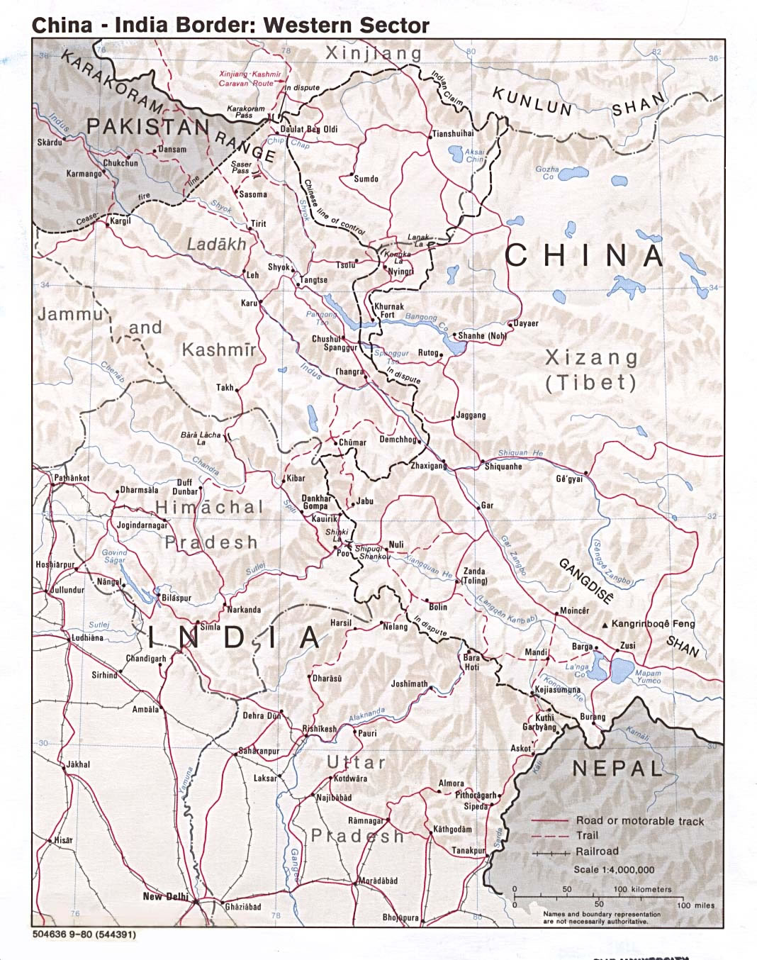
india-china-border-western-sector-1980
India Maps
 Delhi and Agra Operational Navigation Chart
 India citys map
 Rivers and lakes topographic map
 India comptoirs map
 India states numbered map
 Language travel from India map
 Map of India airport city states
 Delhi and Vicinity histrotical map 1962 City Plan
 India languages map
 South India regions map
 India Transportation map
 Alphabetisierungsrate indien karte
 Rivers India map
 India geographical map
 Map of relief India
 Bombay South 1954 Topographic Map
 Historical map of India 1809
 Bombay India historical map 1954 City Plan
 Damao Daman 1954 Topographic India Map
 Large city population density India map
 Distribution of christians in Indian states map
 India regions citys map
 Calcutta map 1945 City Plan
 Relief of India
 Map of india
 Blank colored India map
 India historical map mogul
 China India border eastern sector 1988
 South asia India satellite map
 Location of Delhi
 Bombay Map Tactical Pilotage Chart
 Small map of india
 India energy map 1997
 India city scale map
 Railway network map