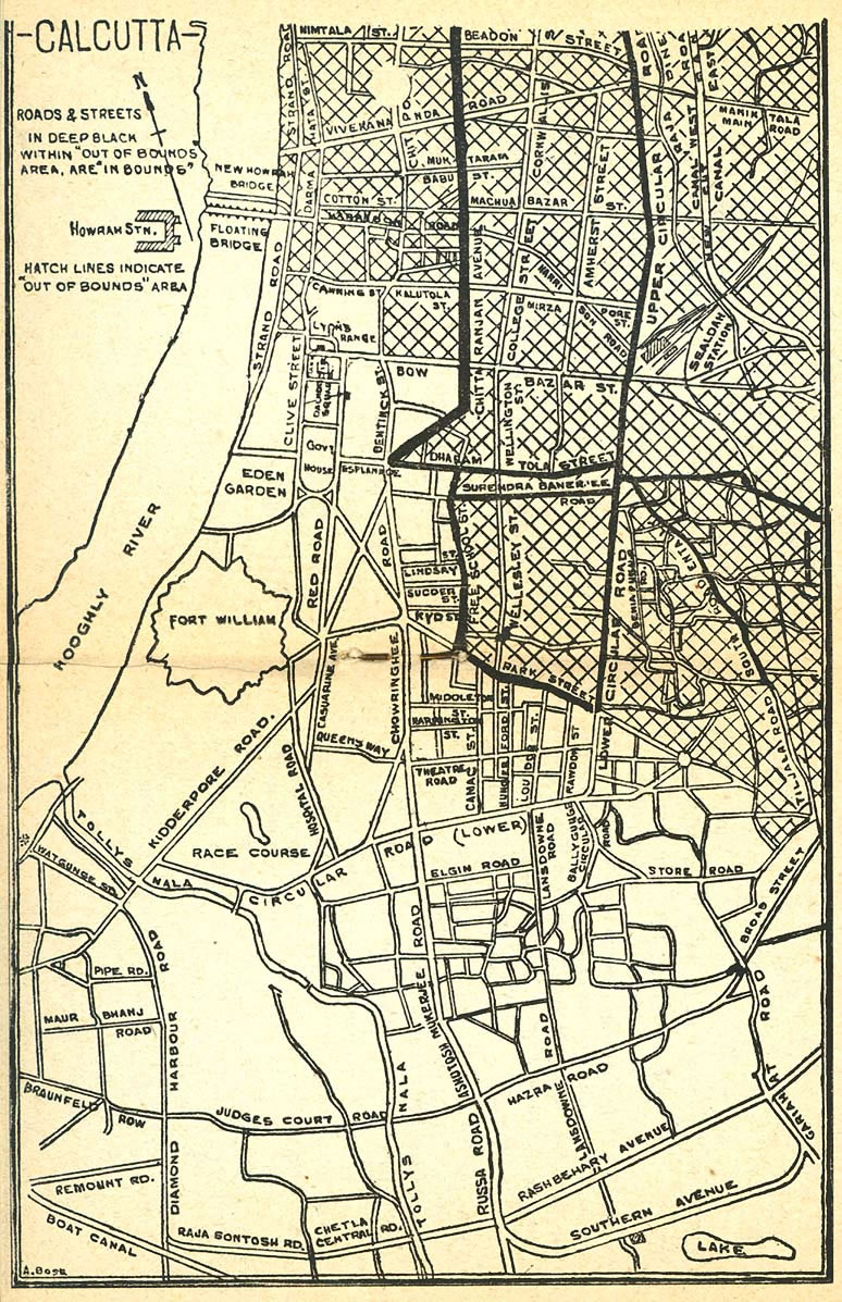
Calcutta-map-1945-City-Plan
India Maps
 Bombay India historical map 1954 City Plan
 India geological regions map
 China India border eastern sector 1988
 Delhi and Vicinity histrotical map 1962 City Plan
 Political map of India 2001
 India railway schematic map
 India map
 India flag
 Indien map 2006
 India numbered stats
 The india map
 India locator map blank
 Cultural regional areas of india map
 India airports and seaports map
 Bombay India historical map 1909
 Topographic India map
 Bombay South 1954 Topographic Map
 Rivers map of India
 Crop areas map of india 1973
 Railway network map
 India districts map
 Historic maps british India
 South asia local langage map
 India rajasthan locator map
 Physical features of India map
 Damao Daman 1954 Topographic India Map
 India historical map 1882, Commerce and Commercial Navigation
 India ter map
 Railway network schematic map
 Large city population density India map
 Blank colored India map
 Where India located
 India stats map
 Historical map India 1808
 Map extreme points of India