india-map-1760
India Maps
 Where India located
 Physical features of India map
 Historic maps british India
 China India border eastern sector 1988
 Delhi and Agra Operational Navigation Chart
 Map of relief India
 Population map of India 1973
 Calcutta map 1945 City Plan
 India climatic zone map
 Indien map 2006
 Languages and religions map of India 1973
 India map
 India satellite map
 Damao Daman 1954 Topographic India Map
 Location of Delhi
 Railway network map
 Relief map of India 1996
 Delhi and Vicinity histrotical map 1962 City Plan
 South India regions map
 India energy map 1997
 Shared relief map of India 1979
 Bombay India historical map 1954 City Plan
 India city scale map
 India airports and seaports map
 India languages map
 India geology zones
 India
India India historical map 1882, Commerce and Commercial Navigation
 India regions citys map
 The india map
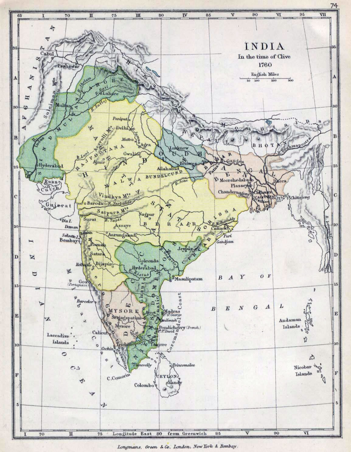
 Historical map of India in 1760
 India states by rto codes map
 Delhi Location
 India physio map 2001
 India map 1760