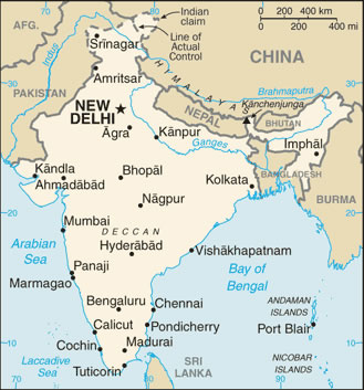
india-wfb-map
India Maps
 India climatic zone map
 Delhi and Vicinity histrotical map 1962 City Plan
 India historical map 1760 from The Public Schools Historical Atlas
 India relief map
 Karte indien bundesstaaten unionsterritorien
 Relief of India
 India comptoirs map
 Bombay South 1954 Topographic Map
 Map of relief India
 India airports and seaports map
 India historical map
 China India border eastern sector 1988
 States and union territories of India
 Shared relief map of India 1979
 India location world map
 India languages map
 India flag map
 India physical
 India topogaphy
 India Transportation map
 India
India India districts map
 India states numbered map
 India historical map 1700 1792 from The Historical Atlas
 Railway network map
 Historical map of India in 1760
 Indien map 2006
 India national roads map
 Rivers India map
 Rivers and lakes India map
 Rivers and lakes topographic map
 India physical map
 Map extreme points of India
 South asia local langage map
 Blank colored India map