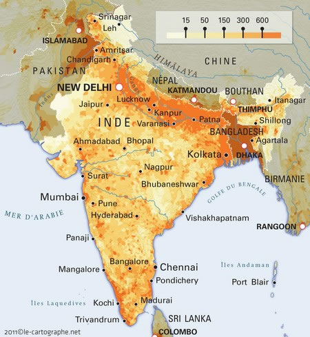
population-density-india-map
India Maps
 Railway network schematic map
 India city scale map
 Map of India airport city states
 india wfb map
 Map of relief India
 Shared relief map of India 1979
 India geographical map
 State and union territories India map
 India citys map
 India states by rto codes map
 India flag map
 India pakistan physical map
 India airports and seaports map
 Historical map India
 Physical features of India map
 Rivers and lakes topographic map
 Bhuj Anjar Area Gujarat Topographic Map 1955
 India calcutta map
 Bombay South 1954 Topographic Map
 India topographic blank map
 Bombay India historical map 1909
 India historical map 1760 from The Public Schools Historical Atlas
 India map 1760
 Wikipedia oldmysore India map
 Historical map of India 1809
 India languages map
 India relief map
 Delhi and Vicinity histrotical map 1962 City Plan
 India historical map mogul
 Historical map of India in 1760
 Small map of india
 India topogaphy
 Indian railways map
 India Transportation map
 States and union territories of India